
Senator Montgomery Publishes Guide to New FEMA Flood Maps and Insurance Program Changes
March 7, 2013
Senator Velmanette Montgomery today released a new brochure that informs constituents in flood zone areas such as Red Hook, Sunset Park, and Gowanus about new flood maps being prepared by FEMA, their implications for future insurance coverage, and what it might mean to property owners rebuilding from super storm SANDY.
"At the time that super storm SANDY hit our communities, FEMA was in the process of updating the nation’s flood maps for the first time in over 25 years," said Senator Montgomery. "Many things have changed in that time, including where people have chosen to live and, more importantly, weather patterns and the increasing likelihood of sea rise from global warming. The new maps are still under official review and will not be officially in use for two years, but I feel property owners in affected areas need to know right now what is being planned because it will greatly impact their plans for rebuilding. "
The Guide contains:
- A short summary of what FEMA is proposing, and why
- What this will mean to future flood insurance rates
- What this will mean to your rebuilding options
- A paper from FEMA explaining the new map procedures in more detail, along with links to other documents and an excellent tool for examining your precise elevation requirements
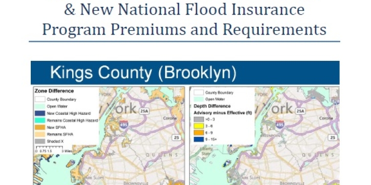
- Slides from a recent FEMA presentation that can inform your understanding of the challenging choices ahead.
The Guide, prepared with the cooperation of FEMA, can be downloaded from Senator Montgomery's website, www.nysenate.gov/senator/velmanette-montgomery.
Newsroom
Go to Newsroom